Textomap

About Textomap
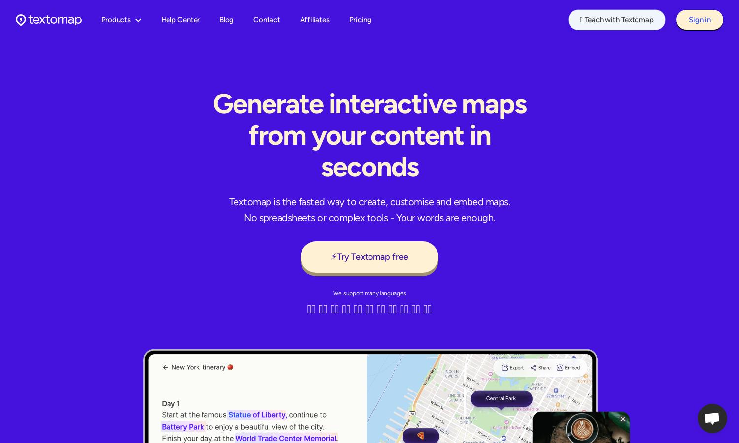
Textomap is an innovative platform designed for content creators, educators, and travelers to effortlessly generate interactive maps from text. The user-friendly interface allows users to customize maps with ease, focusing on creative output while the AI-assisted tools enhance the mapping experience, significantly reducing manual effort.
Textomap offers flexible pricing plans including a free plan with limited features and a Pro subscription that unlocks unlimited map creation and premium functionalities. By opting for the Pro plan, users gain access to advanced features, ensuring they get the most comprehensive mapping solutions available.
The user interface of Textomap is designed for simplicity and efficiency, allowing users to navigate seamlessly through map creation. With intuitive controls and clear navigation, users can easily embed maps into blog posts or share them across social media, enhancing their content without hassle.
How Textomap works
To get started with Textomap, users create an account and select a text source containing location data. The platform uses AI to identify locations within the text, allowing users to customize pins and descriptions. Users can seamlessly generate, save, edit, and share their interactive maps from any device, ensuring efficiency and flexibility.
Key Features for Textomap
AI-driven map generation
Textomap's AI-driven map generation is a standout feature that simplifies the mapping process. By extracting locations from user-provided text, Textomap allows anyone to quickly create interactive maps tailored to their content, saving valuable time and enhancing creativity in mapping.
Mobile browser editing
Textomap’s mobile browser editing allows users to create and edit maps directly from their devices, providing unmatched flexibility. This feature enables users to generate and customize maps on-the-go without the need for laptops or downloads, making map creation accessible anywhere.
CSV import for maps
Textomap offers CSV import capabilities, allowing users to generate maps from latitude and longitude coordinates embedded in CSV files. This unique feature streamlines the process for data-heavy projects, making it easier for users to visualize complex information effectively.
You may also like:


