Satlas
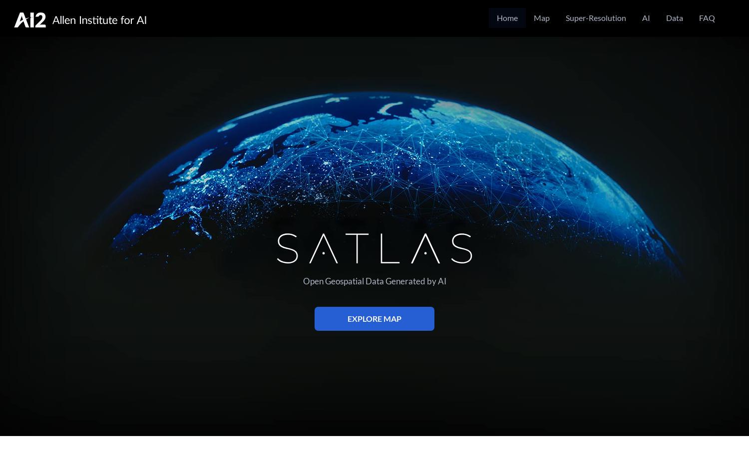
About Satlas
Satlas is a cutting-edge platform designed for researchers, policymakers, and environmentalists to analyze our planet's transformations using AI-enhanced satellite imagery. By providing intuitive tools to visualize extensive geospatial data, Satlas empowers users to understand environmental changes and contribute to informed decision-making, ensuring a more sustainable future.
Satlas offers free access to its AI-generated geospatial datasets, with potential subscription plans for premium features. Users can download data for offline analysis and benefit from upgraded models and functionalities, making it a valuable resource for researchers and businesses looking to leverage satellite data for various applications.
The user interface of Satlas is designed for ease of use, featuring an intuitive layout that enhances navigation and exploration of satellite imagery. With user-friendly tools and seamless browsing, Satlas ensures an enjoyable experience, allowing users to focus on analyzing environmental changes without technical distractions.
How Satlas works
Users interact with Satlas by signing up for an account and gaining access to a library of high-resolution satellite imagery. They can browse various datasets, utilize advanced AI models to generate insights, and download data for further analysis. The platform's intuitive interface guides users through visualizations and tools, simplifying complex tasks.
Key Features for Satlas
AI-Enhanced Satellite Imagery
Satlas employs AI models to enhance low-resolution satellite imagery into high-resolution images, enabling users to observe and analyze environmental changes in detail. This unique feature significantly improves the clarity and usefulness of satellite data, providing invaluable insights for researchers and policymakers alike.
Geospatial Change Analytics
Satlas provides robust geospatial data analytics, revealing transformations in marine infrastructure, renewable energy, and deforestation. This feature allows users to track and analyze regional changes effectively, facilitating informed decision-making and promoting environmental sustainability through actionable insights derived from comprehensive datasets.
Super-Resolution Technology
The super-resolution technology in Satlas enhances user experience by improving image clarity and detail from satellite data. This innovative feature allows users to investigate environmental changes with greater precision, making Satlas a vital tool for researchers, environmental analysts, and decision-makers.